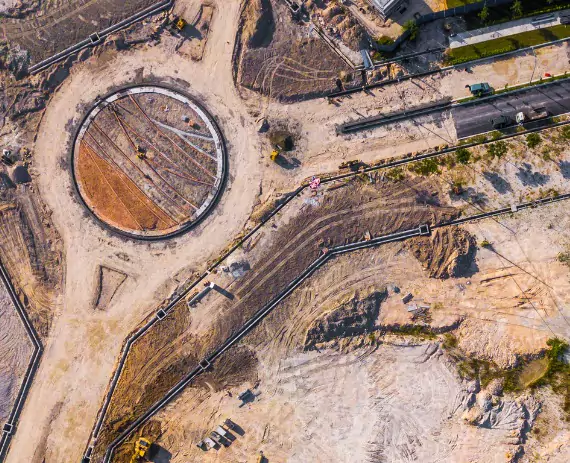
Your company can reduce the time and expenses incurred on your next construction project with drone surveys in Central Illinois. Call Austin Engineering now at 309-691-0224 for some of the most trusted land surveying services and professionals in Illinois since 1937.
Depending on the complexity and size of your project, using drone surveys can save up to 50% or more on costs compared to manual land surveys. Plus, drone surveys save a significant amount of time, reducing data collection processes by up to 80%. In some instances, drone surveys have proven to be 30 times faster than traditional land surveys. Our drone surveys can provide high-resolution 3-D modeling that can aid in the planning of your project. As a result, you can overlay 3-D models from our drone surveys over pre-planned models to compare the results.
Austin Engineering provides drone surveys for customers throughout Central Illinois. We offer surveying services for customers in Peoria, IL, Bloomington, IL, Champaign, IL, Rock Island, IL, Moline IL, Springfield, IL, and elsewhere in the state. Contact us now to request more information.
A variety of businesses from a broad range of industries can benefit by conducting drone surveys in Central Illinois. Here are only a few examples of how your company can apply the results from drone surveys for projects:
Our company was established in 1937, and we’ve served as leaders in land surveying services in Central Illinois ever since. We offer a variety of services that support agribusiness owners, land developers, and construction companies. In addition to drone surveys in Central Illinois, we offer the following land surveying services:

Austin Engineering can provide your business with valuable information faster and at a more reasonable rate with drone surveys in Central Illinois. If you would like more information about our drone survey services, please fill out our online contact form to send us a message. For other questions, you can also feel free to give us a call. You can reach our office in Peoria, IL by calling 309-691-0224. In addition, you can reach our Quad Cities office for services in Rock Island, IL, Moline, IL, Davenport, IA, and Bettendorf, IA by calling 563-207-4605.