
Austin Engineering earns some of the highest ratings on local customer reviews for our drone surveys in Davenport, IA. Give our Quad Cities office a call now at 563-207-4605 for more information about our drone land surveying services.
We use drones to rapidly collect accurate information about your property from views that are not easily accessible or inaccessible to manual land surveyors. Your agribusiness, land development firm, or construction company can save quite a bit of money by using drone surveys instead of traditional land surveys. Depending on the size and complexity of your project, drone surveys can save you over 50% of the cost of a conventional land survey. Plus, drones can reduce the amount of time needed to process the data into 3-dimensional models or topographic maps by up to 80%.
Our company has served commercial clients in the Quad Cities for decades. We were established in 1937 and have served as a leading land surveying services firm in the area ever since. We offer drone surveys across the Quad Cities, including Davenport, IA, Bettendorf, IA, Moline, IL, and Rock Island, IL.
Depending on the complexity and size of your project, your company can experience significant savings by using drone surveys in Davenport, IA. Properties with a large amount of acreage would take multiple surveyors weeks to collect the information needed for your land survey. Meanwhile, a drone survey can collect the same amount of data in a matter of hours. In addition, drone surveys are much more reasonably priced than aerial surveys that require a pilot to fly over your property for several hours at a time. Most importantly, drones can quickly and accurately relay information in real time and process data to provide 3-D models and topographic maps much more quickly.
The camera used in drone surveys can shoot footage that ranges from 5.2k to 8k resolution. As a result, images from drone surveys offer more accurate detail of the site than satellite or aerial survey imaging. Drones can also carry sensors like PPKs, RTKs, LiDAR, infrared cameras, thermal cameras, and multi-spectral sensors. These tools can collect more accurate data than standard camera footage, too. Plus, most drone mapping software allows you to manipulate data to include Ground Control Points (GCPs). So, you can add points of reference that further increase the accuracy of collected information. Use our online contact form now if you have questions about the accuracy of data collected by drone surveys in Davenport, IA.
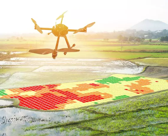
Businesses from several different industries can take advantage of the technology used and information provided by drone surveys in Davenport, IA. Here are a few examples of the applications that are possible with data collected by drone surveys:
Austin Engineering can provide you with accurate information quickly and more cheaply than traditional services with our drone surveys in Davenport IA. In addition to drone surveys, we can also help you with ALTA surveys, commercial surveys, development surveys, residential surveys, rural farm surveys, site layout surveys, and solar farm surveys. Fill out our online contact form to request more information about any of our land surveying services. In addition, you can also call our local Quad Cities office by calling 563-207-4605.