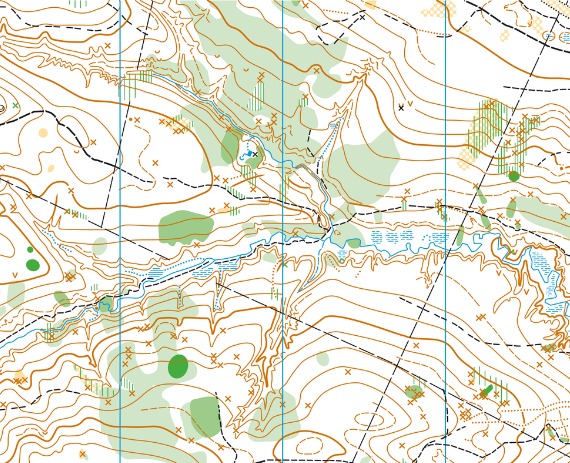
The prep work for any construction project is more than you might think. Ensuring the groundwork is laid out for your project is essential to its success. Not to mention, you avoid construction challenges midway through a project with proper planning upfront. In that planning process, developing a topographic map is crucial. Thankfully, civil engineering and property surveying firms like Austin Engineering can assist with topographic maps for Springfield, Illinois.
A topographic map will always include three main features: contours, physical features, and utilities. Understanding the layout of your land helps when land development and site planning begin in full. Using information gathered from a topographic survey, civil engineers can appropriately design and plan landscaping to stay in compliance with all local building and environmental regulations.

Creating accurate topographic maps in Springfield, IL is all part of the land surveying process. However, topographic surveys are only one type of survey relevant to your construction project. Austin Engineering employs several survey teams to provide quick and accurate survey results for our clients. Examples of our survey capabilities include:
To ensure your site planning (and construction project) are successful and without interruption, thoroughly analyze your land’s makeup with topographic maps in Springfield, IL. Call Austin Engineering today to start the survey process! Or, if interested in our other civil engineering services, contact us at 217-516-3452 to request a quote. Also, our Illinois office is located at 311 SW Water St, Ste 215, Peoria, IL 61602.